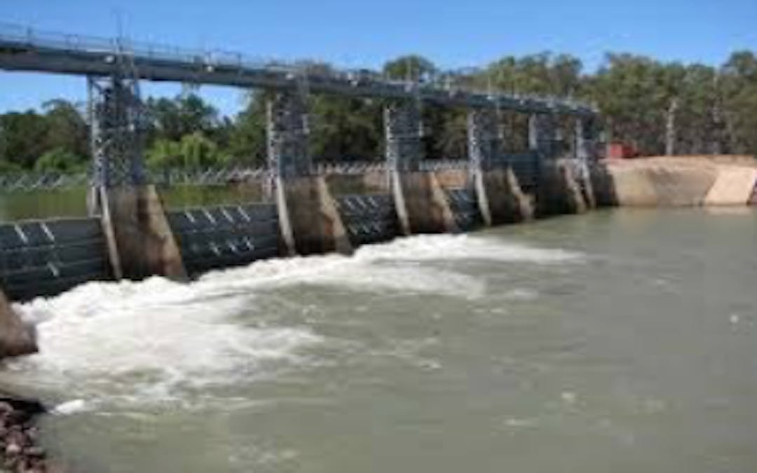
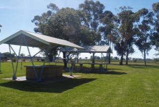
DRAFT Plan of Management for Gogeldrie Weir Caravan Park
Share DRAFT Plan of Management for Gogeldrie Weir Caravan Park on Facebook
Share DRAFT Plan of Management for Gogeldrie Weir Caravan Park on Twitter
Share DRAFT Plan of Management for Gogeldrie Weir Caravan Park on Linkedin
Email DRAFT Plan of Management for Gogeldrie Weir Caravan Park link
Consultation has concluded

DRAFT Plan of Management
At its August Ordinary Council Meeting, Leeton Shire Council endorsed the draft “Plan of Management for Gogeldrie Weir Caravan Park" which will now be on public exhibition from Thursday 25th August until Friday 30th September.
The new DRAFT plan provides direction as to the use of Gogeldrie Weir. Some of the key features of the Plan are:
- Land covered by the Plan
- Permitted users
- Existing users
- Licensing and Leasing of Gogeldrie Weir and;
- Other development activities that may be carried out on the Land.
Feel free to read through the draft plan (located under the Document Library on this page) and then contribute your comments below!
Thank you for being an active and engaged citizen of Leeton Shire.


We live next door and would like to see Better signage to the Park and within the park. So many people drive through our property , get bogged, or walk through our farm looking for better fishing spots or just think they can access any part of the river via our property. Otherwise it is a great spot - the cabins have certainly enhanced the facility and should be promoted more if possible.
I was wondering why the cabins aren't listed in the list of amenities on the last page of the report?
Also, is it possible to change the white "Gogelderie" Weir Park street sign on Gogeldrie Road to one that spells Gogeldrie correctly?
It is a great facility and would really benefit from having a playground installed!
Fantastic facilitie, however I feel since reopening it is drawing a lot of people from far away, and is adding a lot of fishers to the ski run, (the only 12km stretch on the Murrumbidgee river where you can water ski). Is there any chance of planning a downstream boat ramp to get some of the visitors off the ski run?
Check Pg 6 re consecutive days of activity under permit - 3 or 7 days max?
Who is responsible for upgrade of residence? Looks like it needs to be lifted from Fair to Good.
What about signage to the facility?
Who is responsible as a public contact number? Council or other?
Is access provided to the river through one gate only by pedestrians? Is there other access sites? Where are they? Appreciate your defining these. Is there a map that forms part of this Plan?
Thank you.
Looks good. Check page 6 "three(7) consecutive days" - is it 3 or 7?
Thanks